Current
ShorelySafe
Vice President
I help build flood and weather tools that turn coastal data into practical community guidance.
South Jersey coast · ShorelySafe
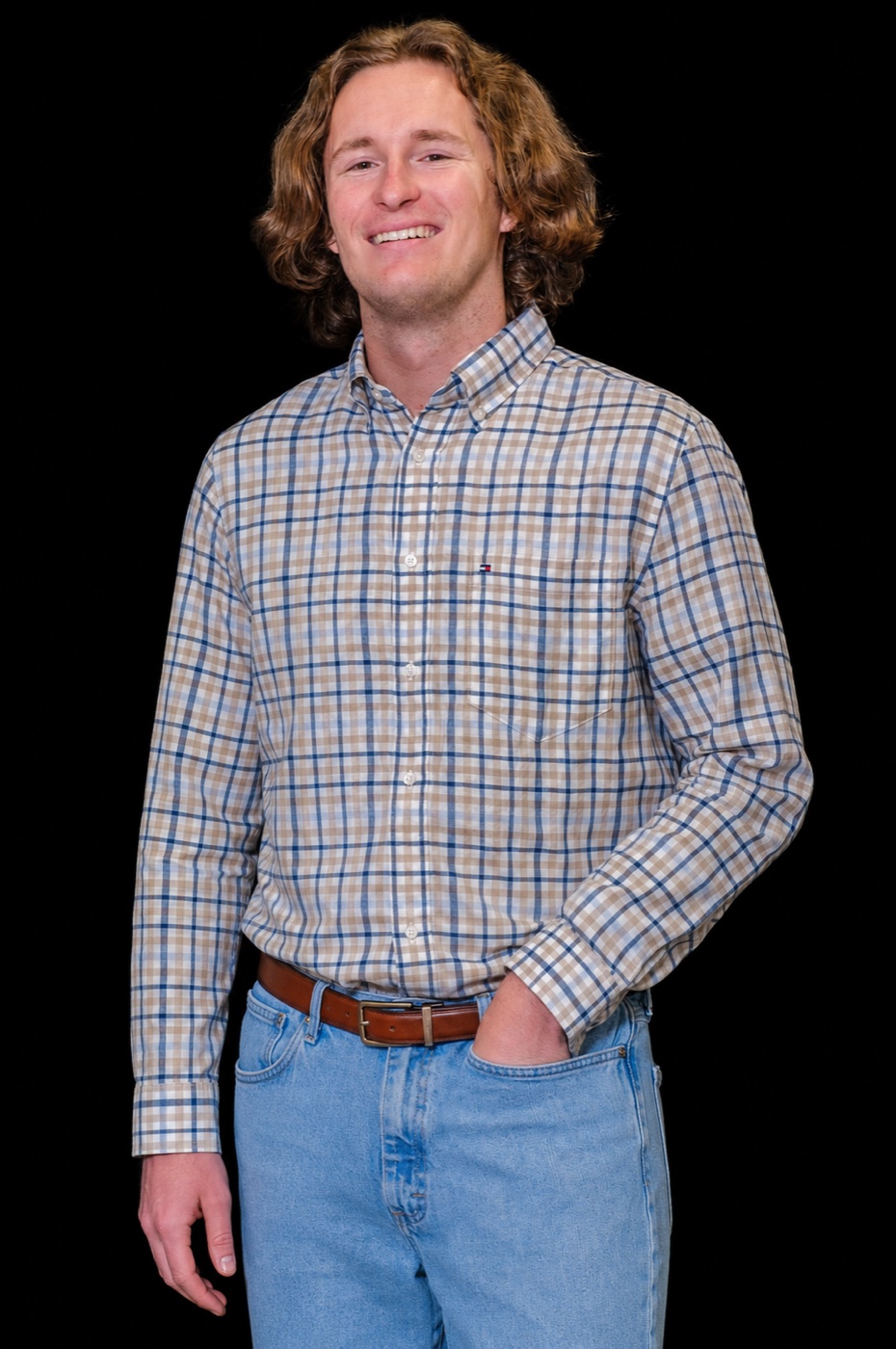
I’m PJ Hondros, a New Jersey coastal researcher and Vice President of ShorelySafe. I turn field and forecast data into practical public tools.
B.S. Environmental Science
M.S. Coastal Zone Management · In progress
Current
I help build flood and weather tools that turn coastal data into practical community guidance.
Research
Beach surveys, sediment analysis, coastal monitoring, and shoreline-change data.
Fieldwork
Nearshore and estuarine fieldwork, sampling, and marine instrumentation.
Interactive mapping
Street-level maps of coastal flooding risk.
Forecasting
Observed and forecast water levels in one public view.
Transportation risk
Road exposure tied to expected water conditions.
Shoreline analysis
Tools for exploring shoreline change over time.